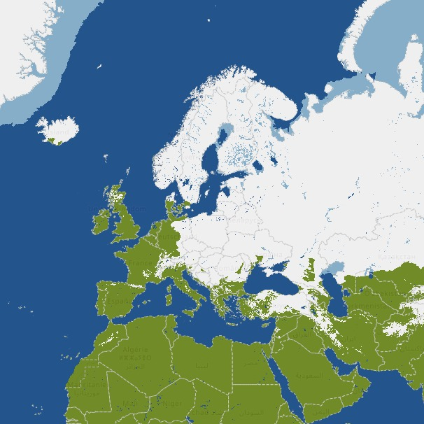
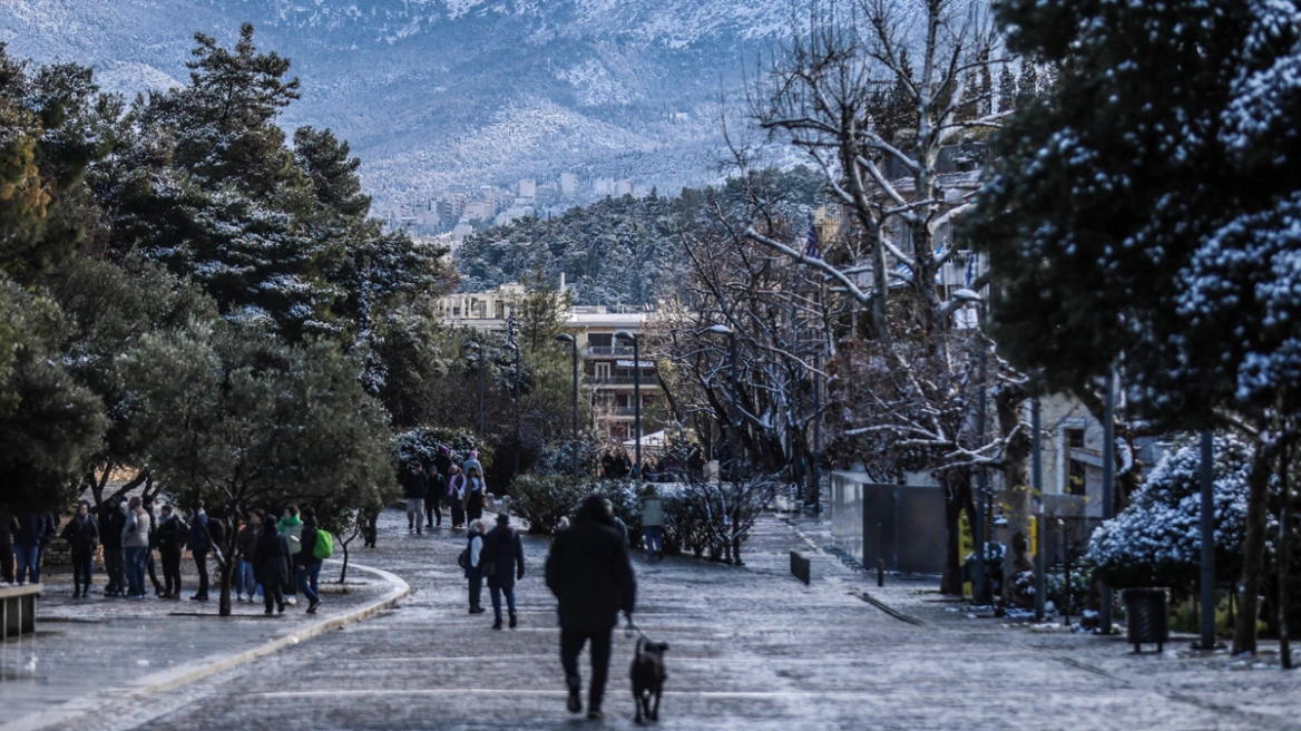
Greece is currently in the grip of a fresh cold invasion, bringing lower temperatures and strong winds. However, despite the wintry feel, snowfall will remain limited until Tuesday. Meteorologists warn that a more serious shift in weather conditions is expected from Wednesday onward, with increased chances of snow even at lower elevations.
According to experts from the Hellenic National Meteorological Service (EMY), the current cold spell lacks the atmospheric ingredients needed for widespread snowfall. While temperatures are indeed low, the atmosphere is not fully “cooperating.”
Former EMY director Theodoros Kolydas explains that although cold air is present at mid-levels of the atmosphere, the absence of a strong cold core and dynamic instability higher up prevents the formation of extensive snow-producing cloud systems. In simple terms, cold alone is not enough to guarantee snow.

Meteorologist Giorgos Tsatrafyllias adds that Greece’s geography and climate play a key role. Southerly and westerly winds frequently push milder air into the country, while cold air masses from the north arrive less often and usually don’t last long. A warmer Mediterranean Sea further limits the intensity of cold near the surface, especially in lowland areas. Over time, climate trends have also reduced the number of days with snow cover, particularly below 800–1,000 meters.
As a result, when snow does fall, it tends to be light, short-lived, and mostly confined to mountainous or semi-mountainous regions. Lower elevations typically see rain or sleet instead.
What changes from Wednesday?
The picture is expected to shift as a well-organized low-pressure system moves in from the central Mediterranean. This system will bring increased moisture and stronger atmospheric support, leading to more widespread and more intense weather phenomena. Snowfall is likely to become more significant, especially in central and northern Greece.
Weather highlights for the coming days:
- Until Tuesday: Cold temperatures, strong winds, light snow mainly in mountainous areas, frost in northern regions.
- Wednesday & Thursday: Noticeable deterioration with widespread rain, local thunderstorms near coastal areas, and heavier snowfall in inland and northern mountainous regions.
- Winds: Strong northeasterlies in the Aegean, reaching gale force at times.
- Temperatures: Gradual rise midweek, though frost will persist overnight in northern mainland areas.
In short, winter hasn’t disappeared from Greece—but it has become more selective. The real test of this cold spell arrives midweek, when the atmosphere finally aligns to deliver more impactful winter weather.
Ask me anything
Explore related questions


